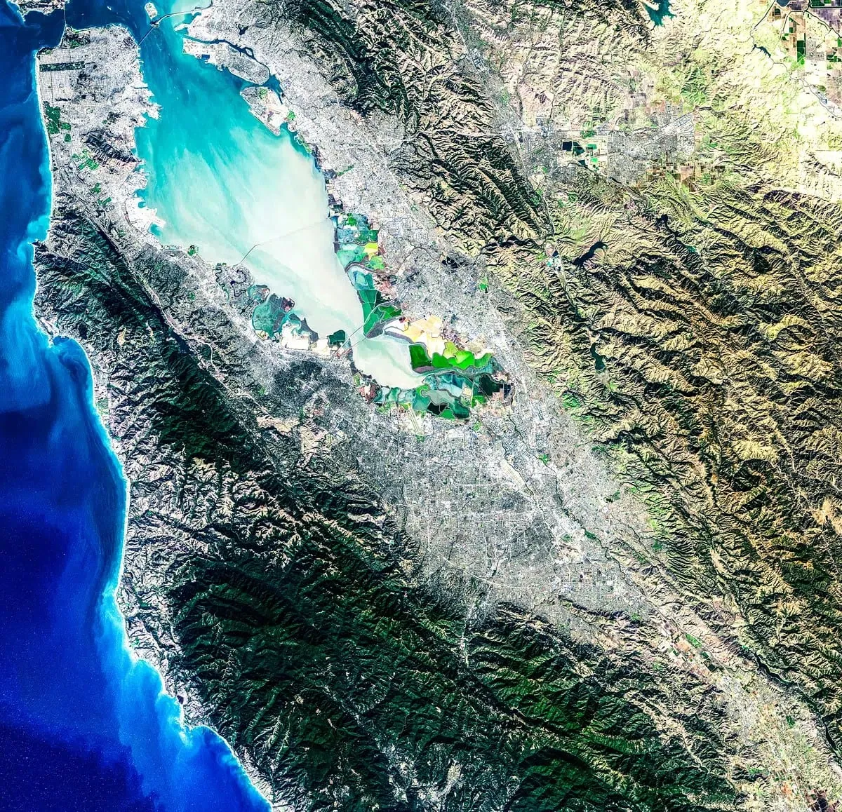
GIS mapping and engineering
Digitizing, feature extraction, topology correction, and GIS-ready datasets prepared for planning and asset records.
Geospatial information systems
WeMapWorld Infosystem combines GIS, aerial survey, and geospatial AI to build software for businesses that work with maps, imagery, measurements, and location data.
Maps and imagery only become useful once they turn into information people can search, measure, and decide from. That is the whole company in one sentence.
Aerial imagery, satellite views, boundaries, and GIS layers, gathered for the places our customers work.
Cities, corridors, land parcels, infrastructure, and sites, measured in consistent terms.
Structured, queryable records and software that teams can plan, engineer, and operate from.
We work across GIS, aerial survey, LiDAR, photogrammetry, Scan to BIM, and geospatial AI, so spatial data is accurate before it becomes a decision. Our products build on the same foundation.
Digitizing, feature extraction, topology correction, and GIS-ready datasets prepared for planning and asset records.
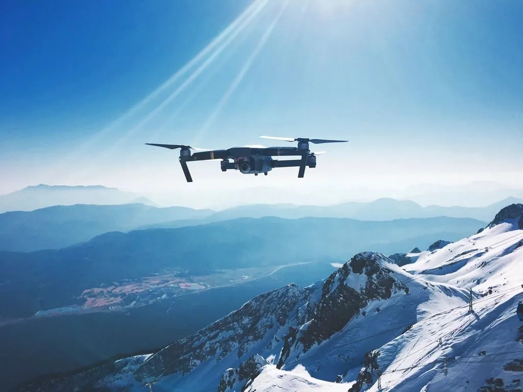
Aerial imagery capture for orthomosaics, elevation models, 3D meshes, and topographic mapping.
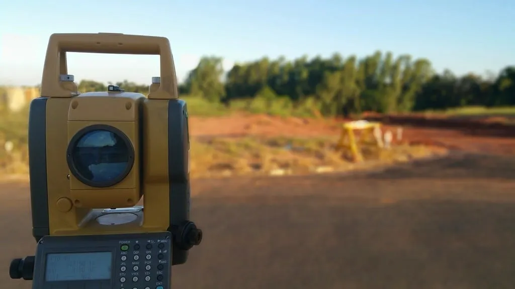
Point clouds and image-based 3D outputs for terrain, corridors, buildings, and site documentation.

As-built 3D models derived from scan and point-cloud data to support renovation, coordination, and quantity planning.

Dashboards, viewers, and property-focused platforms that make spatial data searchable and usable by non-GIS teams.
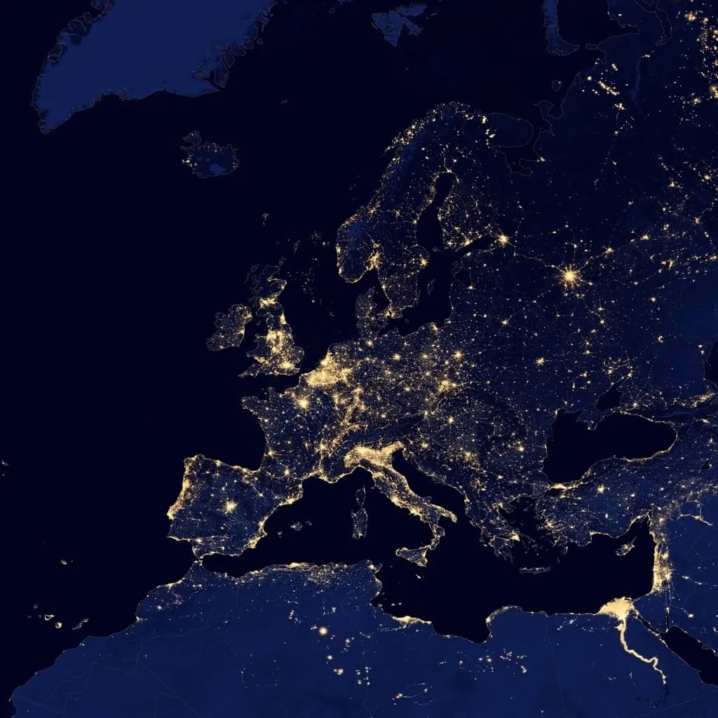
Computer vision, automated classification, and analytics that turn raw imagery into measurable, reviewable insight.
Structured, location-backed replicas of sites and assets for monitoring, comparison, and planning.
Geolytes is our first product and ships today. The others show where we are heading; they are not available yet.
A geospatial intelligence platform that helps businesses turn aerial imagery and location data into accurate measurements, estimates, and actionable insights.
Property Measurements Estimate
Inspect a real Geolytes takeoff with measured quantities. It is a product demonstration, not a customer case study.
In development
Field data collection and operations software that keeps survey teams, assets, and work orders tied to the map.
PreviewSpatial analytics for comparing sites, surfaces, and change over time across a portfolio of locations.
PreviewA property intelligence workspace for reviewing boundaries, layers, and measurement history in one place.
PreviewSurvey, imagery, and GIS data are powerful, but the workflows around them often stay fragmented and manual. We connect them into one path from capture to action.
What goes in
Bring together aerial, satellite, and geospatial data for the place you care about.
Process the imagery and spatial layers with geospatial tooling and computer vision.
Extract the features, distances, areas, and models the project needs.
Organize results into maps, databases, and dashboards teams can search and share.
Use the results for planning, engineering, asset management, and day-to-day decisions.
From governments and city planners to engineering, telecom, and natural resources teams: anyone who needs reliable maps and spatial data behind their decisions.
Land records, base maps, and citizen-service mapping.
Site surveys, as-built models, and design support.
Property mapping, measurements, and portfolio records.
Land, water, and vegetation mapping.
Terrain, volumes, and site monitoring.
Base maps, building footprints, and city-scale spatial data.
GIS-based property records for urban local bodies.
Network planning and asset mapping.
Corridors, terrain, rivers, and land monitoring.
Technology
Geospatial processing, computer vision, and spatial information systems that turn imagery into decisions, explained in plain language.
We are early-stage. Instead of invented logos and testimonials, here is what the work is made of.
Explore the product we ship today, or tell us what you’re building. We’re also happy to hear from people who want to work with us.